
Town · Versilia
Alta Versilia
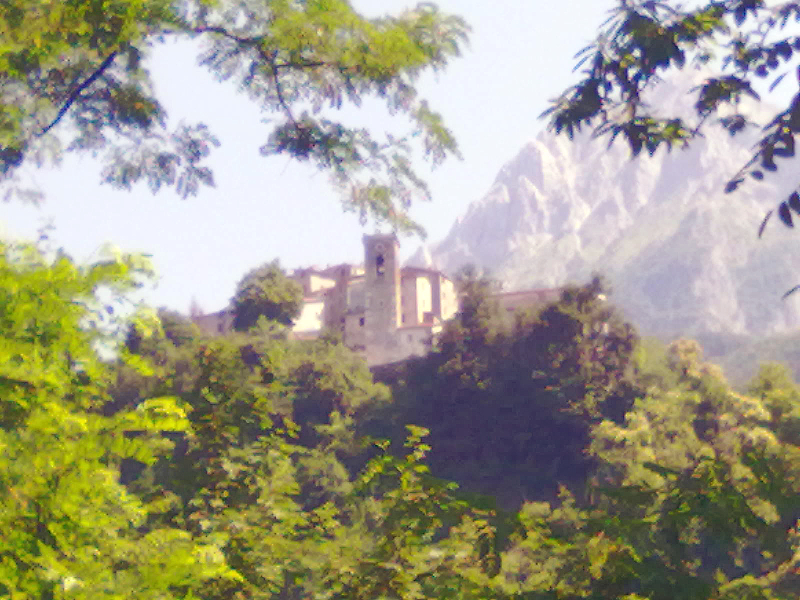
The Villages Under the Marble Mountains
Last updated:
- Region
- Versilia
- Province
- Province of Lucca
- GPS
- 43.9974, 10.2954 (Pontestazzemese, seat of the comune of Stazzema)
- Best season
- late spring to autumn for hiking; the Corchia cave is a guided underground visit in any weather
- Time needed
- 1–2 days
- Difficulty
- moderate (mountain roads; hikes range from moderate to experts only)
- Known for
- Antro del Corchia, Levigliani's shared mountain, mercury mines, Monte Forato arch, Procinto via ferrata
Up here, the beach clubs of Versilia feel very far away. In this article, Alta Versilia (Upper Versilia) means the mountain villages of the comune of Stazzema. The comune runs from 71 m to 1,859 m above sea level, and it had 2,892 residents on 1 January 2025 (ISTAT). Its town hall is not in the village of Stazzema at all, but in Pontestazzemese, at 172 m.
These are working mountains. The Apuan Alps are marble country, and quarry roads still climb their slopes. The range has been part of the Global Geoparks Network since 2011 and a UNESCO Global Geopark since 2015. The rock holds about 200 mineral species; 19 were first described here, including apuanite, carraraite, and versiliaite.
Come for the Antro del Corchia cave, for Levigliani‘s unusual story, and for serious Apuan hiking. But come prepared. The seaward slopes get about 1,500 mm of rain a year, and the weather changes fast so close to the sea.
A Place Shaped by Time
Florentine since 1513
Stazzema belongs to the oldest idea of Versilia. In its historic sense, Versilia is the four comuni of the old Capitanato di Pietrasanta: Pietrasanta, Seravezza, Stazzema, and Forte dei Marmi. A papal arbitration by Leo X, the Medici pope, placed them under Florence on 29 September 1513. Camaiore and Viareggio stayed with Lucca. Today’s tourist Versilia also takes in Viareggio, Camaiore, and Massarosa.
The Capitanato stayed Florentine, and later Grand Ducal, until 1859. The Medici valued these mountains for their stone. A 2026 study dates their exploitation of the Stazzema breccias to 1563.
Stone and quicksilver
The marble is metamorphosed Early Jurassic limestone. “Apuan marble” is the right name for it here; “Carrara marble” belongs to the Carrara basins.
Metal mattered too. The mercury mines at Levigliani, the Miniere dell’Argento Vivo, are first documented in a Pisan record of 1153. Miners took cinnabar and then mercury from them until they closed in the 1970s.
The village that owns its mountain
In 1794, 67 heads of household kept Monte Corchia as shared property. They chose to hold the mountain, together with woods bought from the Grand Duke of Tuscany, in common. Their heirs still own the land that way.
Today the Comunione dei Beni Comuni di Levigliani works through cooperatives. Sviluppo e Futuro, founded in 2001, runs Corchia Park: the cave, the mines, the museums, and the quarry visits. Another cooperative, Condomini, works the marble quarries. According to Avvenire, the community chose to halve its marble tonnage. La Nazione counts almost 100 jobs across the village’s activities. We tell the full story in our profile of Levigliani and Corchia Park.
19 June 1996
On 19 June 1996 about 470 mm of rain fell on Alta Versilia in a few hours. Fourteen people died: 12 at Cardoso, one at Fornovolasco in the Garfagnana, and one near Pietrasanta. Cardoso was destroyed, and the flood also hit Fornovolasco, on the other side of the range.
The rebuilding that followed is still cited in Italy as the modello Versilia (the Versilia model).
What to See and Do
Levigliani and the Antro del Corchia
Levigliani sits at about 580 m under Monte Corchia (1,678 m). Inside the mountain lies the Antro del Corchia, Italy’s longest known karst system, with more than 50 km of explored passages. The naturalist Emilio Simi discovered it on 11 October 1840.
The cave has been open to visitors since August 2001. Visits are guided only. A shuttle takes you from Levigliani to the entrance at about 850 m, which you enter through an artificial tunnel. The tourist route covers about 2 km on walkways. The cave is cold all year, so bring a warm layer and rubber-soled shoes. Book through Corchia Park and check times before you go.
The cave also works as a cellar: wines from small Apuan producers are aged in a chamber cut into the rock more than 100 m inside, and sold as “Ipogeo” (Corchia Park: Ipogeo wine).
The mercury mines and two museums
The Miniere dell’Argento Vivo are, in the operator’s words, “the oldest mining site in Upper Tuscany.” The community restored them for visitors in the 2000s, and you can see them on guided visits only (Corchia Park: mines).
The Museo della Pietra Piegata opened in 2008. It shows marble craft over the centuries, from simple objects to inlay and sacred work. Its key pieces are Ligurian Apuan funerary stones from the 3rd century BC, found in a nearby necropolis. The community museum “Lavorare Liberi” tells how the village has run its own quarries. Check tickets for both on the Corchia Park museums page before you go.
Into the quarries by 4×4
Corchia Park also runs guided marble-quarry visits from Levigliani, in converted former Italian Army 4×4s. You need rubber-soled shoes; hard hats are handed out at the quarry. On a clear day the view reaches Corsica. Booking is required: check age limits, times, and availability on the quarry-visit page before you go.
This is the only guided marble-quarry visit we can point you to in Versilia. The operator does not say which quarry you visit or whether it is working. Do not wander onto quarry sites on your own.
Cardoso and the Monte Forato arch
Cardoso is the start of the Versilian route to Monte Forato, a natural rock arch 32 m wide and 25 m high, at about 1,223 m. Visit Tuscany counts it among the largest in Italy. Take CAI 120 (formerly 12) up to the arch. To make a loop, cross to the Foce delle Porchette and come back down to Cardoso on CAI 118 (formerly 8).
We found no official length, height gain, or grade for the Cardoso side. A hiking report on Gulliver describes a steady climb, with hands needed in a couple of places and chains below the arch. The official regional loop starts from Fornovolasco, on the Garfagnana side: 10 km, +700 m, about 5 hours, rated demanding. The Ferrata Renato Salvatori, CAI 110A, climbs the south ridge; it is for experienced, equipped climbers only.
Pruno and Volegno
Pruno is a medieval village dominated by the church of San Niccolò, with a craft museum. At the summer solstice, people in Pruno and Volegno can watch the sun rise through the Monte Forato arch.
Stazzema, the Procinto, and Rifugio Forte dei Marmi
The village of Stazzema is a trailhead. CAI 115 (formerly 5) leads to Rifugio Forte dei Marmi, at 865 m below Monte Nona and Monte Matanna. The hut has 28 beds, and CAI 106 (formerly 5A) reaches it from Casa Giorgini. Check opening with CAI Forte dei Marmi before you go.
Nearby rises Monte Procinto (1,177 m). Its first certified ascent came on 17 November 1879, by Aristide Bruni with Cesare Dinelli and local quarry climbers. Bruni of CAI Firenze proposed an iron path in 1884, and work began in 1890. The route opened on 29 June 1893, with 283 hand-cut steps, and CAI Firenze has maintained it ever since. Montagna.TV calls it Italy’s first via ferrata. It is for experienced, equipped climbers only; check its status with CAI Firenze or CAI Forte dei Marmi.
Pania della Croce
Pania della Croce (1,859 m) is the “Regina delle Apuane” (queen of the Apuans), though Monte Pisanino (1,947 m) is higher. From Levigliani, CAI 119 (formerly 9) passes the Antro del Corchia, Le Voltoline, and Passo dell’Alpino to Foce di Mosceta, facing the Pania.
Another approach starts at Passo Croce (about 1,150 m), reached by road from Levigliani. Montagna.TV gives it +740 m and about 6 hours return, graded E–EE; EE means for expert hikers. From Pruno the same source gives +1,420 m and about 7 hours 30 minutes return.
At Foce di Mosceta stands CAI Viareggio’s Rifugio Del Freo (1,180 m). In November 2024 the section said the hut faced closure without repairs to its supply cableway, so check its status before you rely on it. From the nearby Corchia ridge, CAI Firenze’s own trip notes say you will see the damage the quarries have done.
Before you set out
Rescues in the Apuans are frequent. In July 2026 the Tuscan mountain rescue service helped exhausted hikers who had no water and the wrong shoes. Shaded slopes ice over quickly in autumn, so carry microspikes.
Check Regione Toscana’s alerts at www.cfr.toscana.it the day before. The codes run green, yellow, orange, and red; we would not start a mountain route on an orange or red thunderstorm alert. Passo Croce and Fociomboli are reached on quarry roads: stay on marked trails and obey quarry signs. CAI Toscana is renumbering trails, so check current trail status before you go. In an emergency, call 112.
Eating Like a Local
Mountain food here is plain. For Stazzema, Visit Tuscany lists tordelli, castagnaccio, ciacci with ricotta, ballotti, and chestnuts boiled with fennel seeds. Tordelli, Versilia’s meat-filled pasta, have no codified recipe, so every family’s version differs.
Look out for mortadella nostrale di Cardoso, a large pork salume seasoned with garlic, rosemary, thyme, wild fennel, and mountain herbs. Visit Tuscany says it dries for about a week and can age for up to ten months. Stazzema also lies inside the zone of the Lucca DOP olive oil.
We have no guide-listed restaurant to recommend in the comune of Stazzema. For that, go down to Pietrasanta, where Peposo holds Slow Food’s Chiocciola, and La Martinatica and Filippo are listed in the MICHELIN Guide.
Getting There and Getting Around
Trains and roads
The comune of Stazzema has no railway station. The nearest stations are Pietrasanta and Forte dei Marmi-Seravezza-Querceta, both on the Tirrenica coastal line. We could not confirm bus services into the valleys, so plan on a car.
At Levigliani a shuttle runs from the village to the cave entrance. The roads to Passo Croce and Fociomboli are quarry roads, so drive them with care.
When to go
Late spring to autumn suits hiking best. Rain falls mostly in autumn and spring, and summer showers are frequent at altitude. In winter, fast swings in temperature make the Apuans especially dangerous, a former regional head of the Soccorso Alpino (mountain rescue) has warned.
Nearby
- Sant’Anna di Stazzema: the memorial village in the same comune; give it its own half day.
- Levigliani and Corchia Park: our full profile of the community that owns its mountain.
- Seravezza: the valley town below, where Michelangelo opened quarries in 1518–1520.
- Pietrasanta: the workshop town on the plain, and the nearest place for a guide-listed dinner.
- Garfagnana: across the range, with Fornovolasco and the official Monte Forato loop.
Information is provided in good faith and may change. Always confirm opening hours, prices, and event dates with the official source before you travel.